The Kymi River in Finland has been important for indrusty and military purposes throughout history. At the most eastern branch of the end of the Kymi River in Kotka, there used to be logging industries and a WW2-era military defense line. These pictures are from the Jumal Peninsula, which is at the mouth of the Suni Bay, which goes to the Baltic Sea.
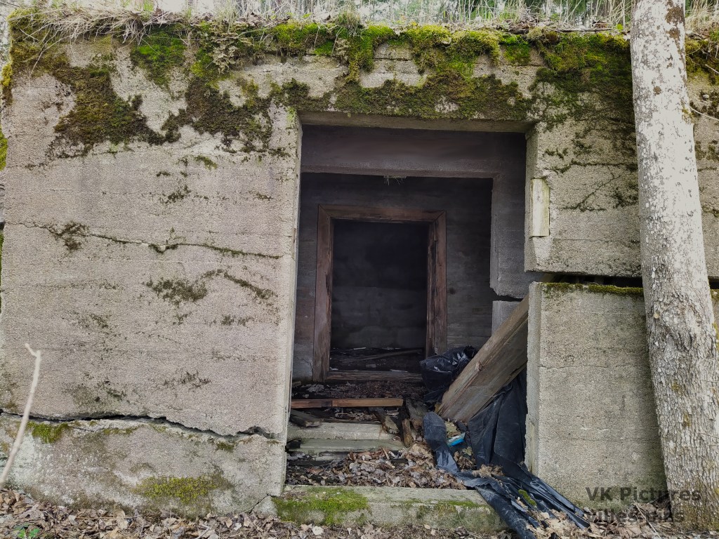
The military defense line here was known as the Kymi Line. It included bunkers, anti-tank ditches, anti-aircraft positions and other fortifications. Today most of these are removed or hidden underground. Some ruins of these still remain at the Kymi River. There are also ruins of old logging indrusty here.
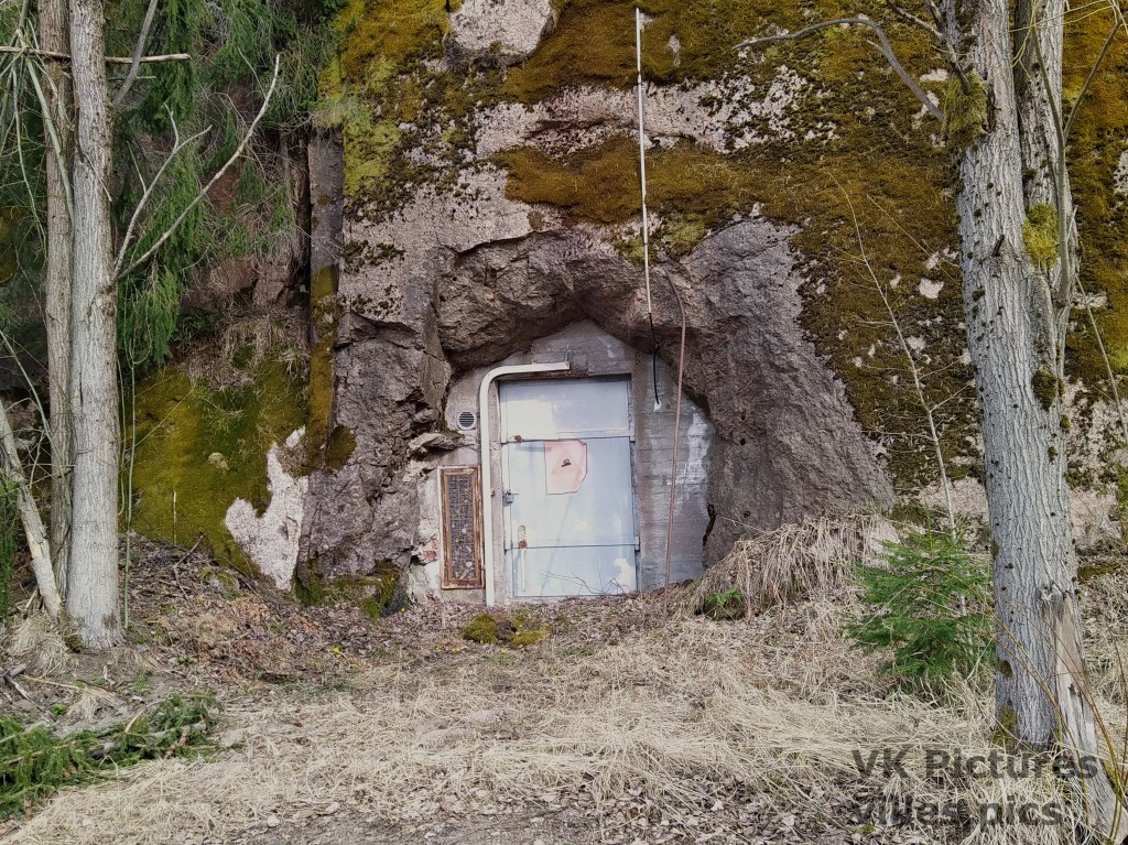

The next picture is a bit blurred at the top since someone had written a phone number inside this old bunker.
The bridge to this next building looks unsafe, but I do want to see if it could be a good place to take a picture.
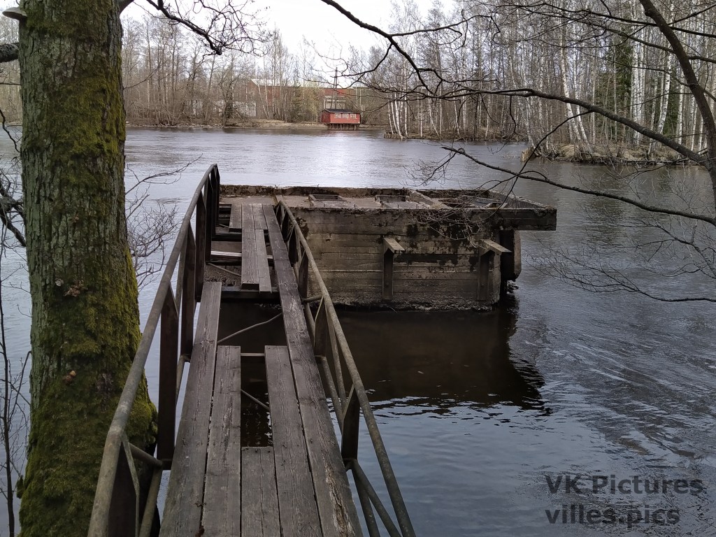
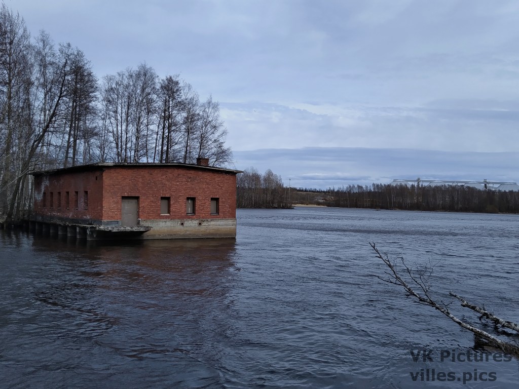
I did manage to cross the bridge. Here’s a picture from that building. The Suni Bay starts from that building to the left. Behind the land in the horizon, is the Baltic Sea.
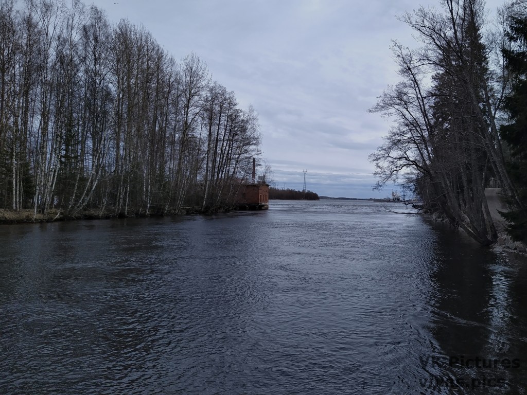
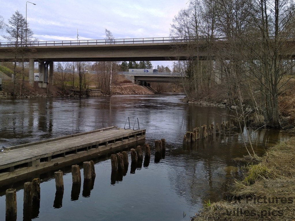
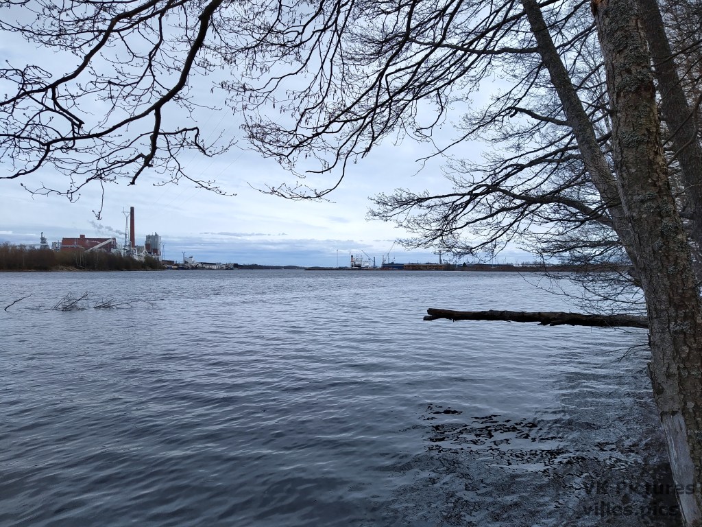
The Kymi River here gets wider since it is nearing the ocean at the Kymi’s Mouth. I cannot get pictures of the sea from here since the view is blocked by the Hietanen Port and the Kotka Island. I can still see the Suni Bay.


Leave a comment